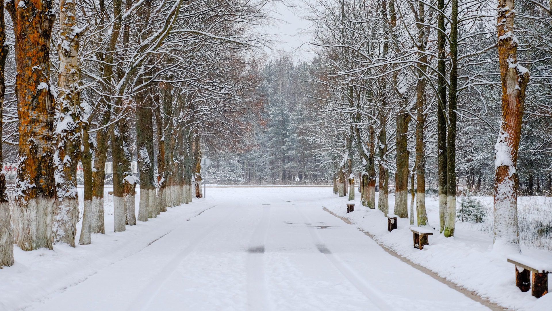
Do you really like snow-clad trees, roads, and white blankets? The 5 best places to witness snow in Uttarakhand is the ultimate guide for snow enthusiast who looks forward to seeing snow and snowfall across various places in India.
Uttarakhand is a state in northern India, and it is home to the Himalayas, which are known for their cold and snowy winters. There are multiple places where you can see snow falling from the sky and remaining there even during summer. But many of these places aren’t easily accessible.
Therefore, I must make it clear that this list uses a few parameters to rank the locations. It is very important for us to mention how this list arrived at.
- Location: The location and its natural beauty and availability of snowy conditions throughout winters
- Accessibility: The transportation facilities
- Accommodation: The kinds of property available to stay
- Engagement: How many locations nearby are there to provide a complete experience for the traveler
Now as we understand the parameters used to rank the destinations, you would notice that popular places like Mussoorie and Nainital are not ranking here.
You can easily understand that it is due to their low ranking on point no. 1. Also, note that a low rating on one parameter does not mean it’s bad, it just means we are quite strict in rating.
So without further ado let’s look at the 5 Best places to witness snow in Uttarakhand
1. Auli
There is a reason that Auli tops our list of the ’10 best places to witness snow in Uttarakhand.’ It is a well-known ski destination that is a part of the Chamoli district of the state of Uttarakhand, which in itself is a state full of greenery and mountains.
Location ⭐️⭐️⭐️⭐️⭐️
Accessibility ⭐️⭐️⭐️✨
Accommodation ⭐️⭐️⭐️⭐️
Engagement ⭐️⭐️⭐️⭐️⭐️
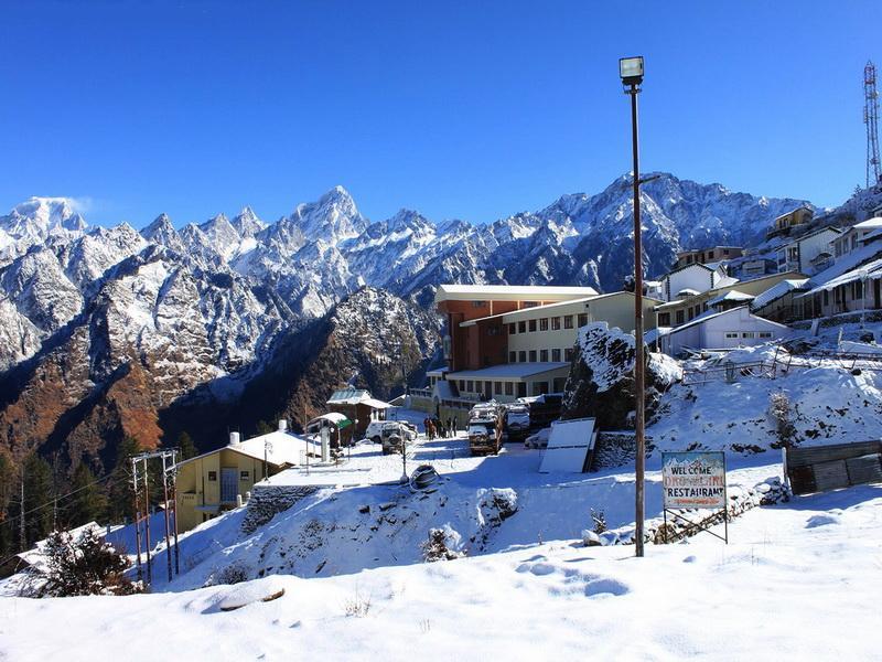
Auli, also known as Auli Bugyal, in Garhwali, which means “meadow”, is located at an elevation of 2,500 meters (8,200 ft) to 3,050 meters (10,010 ft) above sea level. One can find plenty of snow and witness snowfall throughout the winter season.
It lies on the pilgrimage route of Badrinath temple and can easily be traversed through the road throughout the year from Rishikesh. The distance from Delhi to Auli is approximately 482 Km (300 miles) from Delhi
Auli is brilliantly located with various places of interest you can visit. More interesting is the fact that you can find snow till the end of March in this location
How to reach
- Through air: Jolly Grant Airport (279 km) in Dehradun is the nearest airport. Taxis are available from the airport till Auli.
- By rail: the nearest railway station is Raiwala near Rishikesh (250 km away).
- By road: Buses ply regularly between Joshimath and Rishikesh. Auli to Joshimath is approximately 15 km.
Best time to visit: Auli has a refreshing climate throughout the year. March – June is pleasant and November – February witnesses heavy snowfall.
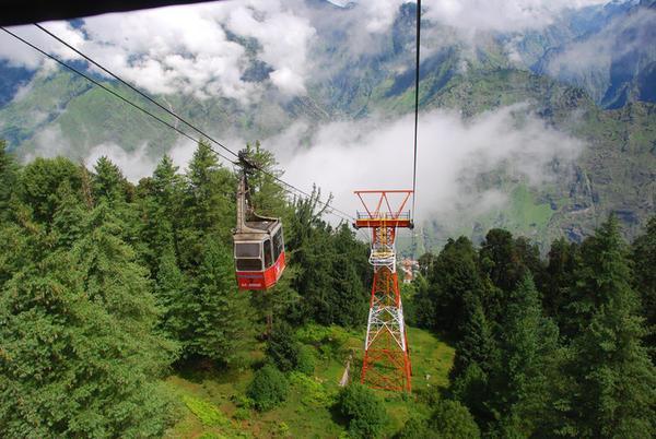
Things to do: Skiing, trekking, gondola rides, camping, photography
2. Munsiyari
Though unexplored by many these places are gaining popularity because of their raw and enchanting natural beauty. It is situated along the banks of the river Goriganga and is full of snow, glaciers, mountains, and trekking routes.
Location ⭐️⭐️⭐️⭐️⭐️
Accessibility ⭐️⭐️⭐️
Accommodation ⭐️⭐️⭐️
Engagement ⭐️⭐️⭐️⭐️⭐️
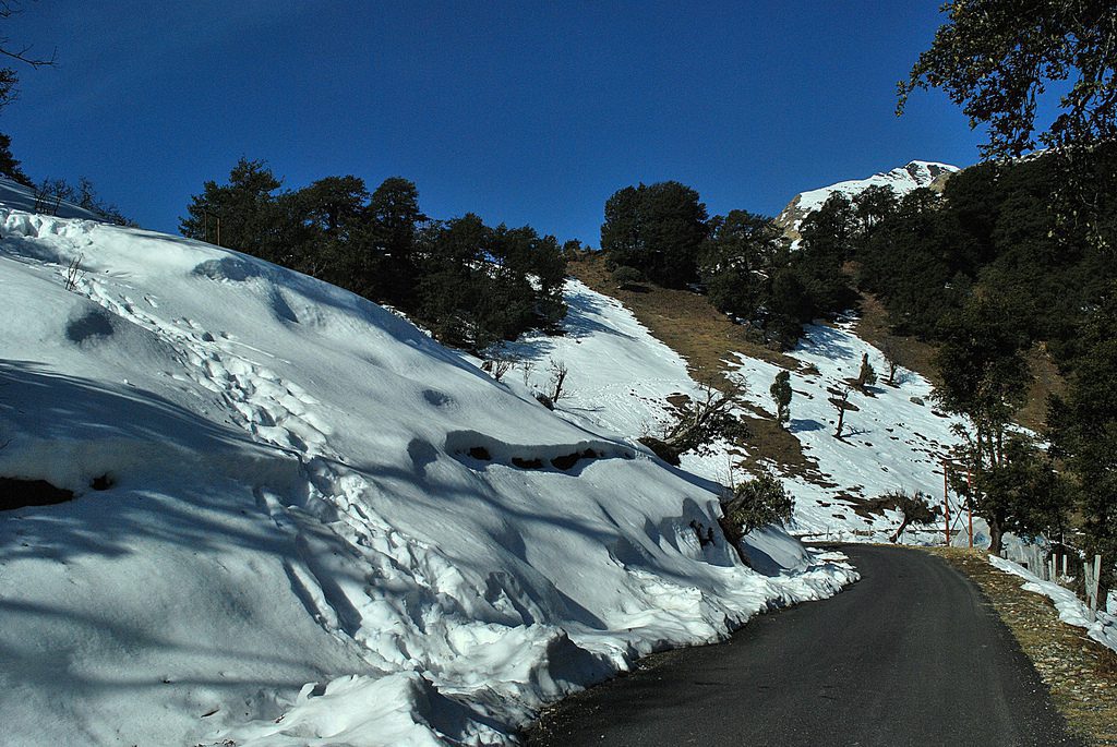
It is said to be the ancient ‘Salt Route’ to Tibet. This place will be highly appreciated by snow lovers, mountaineers, trekkers, and skiers. In addition to the heavy blankets of snow, because of which it is also termed “Mini Kashmir”, this place has “Hot water Springs”.
The only thing that prevents Munsiyari from topping the list of 5 Best places to witness snow in Uttarakhand is its distance from the major cities and the overall road condition leading to the place. Though not bad, it still is not one of the best roads to drive on
How to reach
- Through air: Pantnagar Airport (255 km ) is the nearest airport.
- By rail: Kathgodam (275 km away) is the nearest railway station.
- By road: Direct buses to Almora, Pithoragarh, and Chaukori are available. You can then take a taxi.
Best time to visit: March – June, and September – October
Things to do: Camping, trekking, skiing, snowboarding, and photography.
3. Dhanaulti
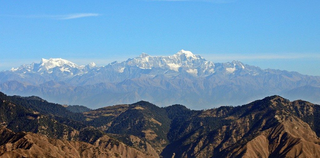
Dhanaulti is situated just 24 km (15 miles) from the extremely popular hill station of Mussoorie, and 31 km (19 mi) from Chamba in Uttarakhand, It is situated at an altitude of 2286m and is known for its quiet environs amidst the alpine forests of Deodar, Rhododendron, and Oak.
Location ⭐️⭐️⭐️⭐️
Accessibility ⭐️⭐️⭐️⭐️
Accommodation ⭐️⭐️⭐️⭐️
Engagement ⭐️⭐️⭐️
This place is famous for its thick beautiful deodar, oak, and pine forests covered with a heavy blanket of snow during the winters. The picturesque panoramic views of this place in winter are the first to witness the snow and are in full bloom.
You can also visit Kanatal a nearby destination. The place, however, is for witnessing calm and pristine beauty and does not have much apart from a botanical garden to visit. However, this place is bliss for the snow enthusiast
How to reach
- Through air: Jolly Grant Airport (80 km) in Dehradun is the nearest airport. Taxis are available from the airport to Dhanaulti or Mussoorie.
- By rail: Nearest railhead is Raiwala near Rishikesh (250 km away).
- By road: Buses ply regularly between Mussoorie, Dehradun or on the other side from Rishikesh and Haridwar directly to Dhanaulti.
Best time to visit: Anytime throughout the year
Things to do: Camping, trekking, skiing, snowboarding, and photography.
4. Mukteshwar:
Mukteshwar is a beautiful tourist destination in the Nainital district of Uttarakhand. It is situated high in the Kumaon Hills at an altitude of 2286 meters (7500 feet), 51 km from the famous hill station Nainital, 72 km from Haldwani, and 343 km from Delhi.
Location ⭐️⭐️⭐️
Accessibility ⭐️⭐️⭐️
Accommodation ⭐️⭐️⭐️⭐️⭐️
Engagement ⭐️⭐️⭐️⭐️⭐️
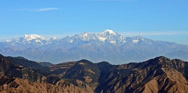
Hilly topography nestled with fruit orchards and coniferous forest, Mukteshwar, the name derived from Lord Shiva, one who offers Moksha(salvation), is a calm and secluded town and tourist destination. It has some very popular temples including Mukteshwar temple a lot of activities and peaceful good properties for accommodation
Mukteshwar is also famous for the Indian Veterinary Research Institute campus established in 1893. This little beautiful town adorned with cute homes of reddish roofs, ancient style window frames made of wood, and picket barriers brings the reminiscences of the British Raj. Agriculture in the area consists chiefly of potato cultivation and fruit orchards on terraces cut into the hillsides.
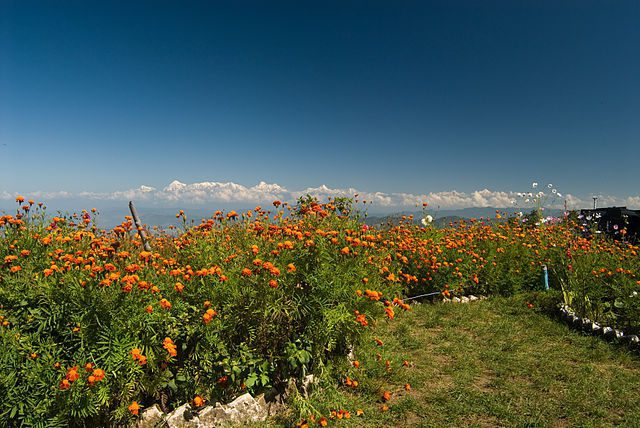
Mukteshwar, affluent in scenic splendor, commands a breathtaking view of the Himalayas with magnificent views and bears the Nanda Devi, India’s second-highest peak. There is also a Renewable Park developed by The Energy and Resources Institute, which uses solar electricity for most of its electricity needs.
As the case anywhere else in India, recently, the town has experienced some construction activity and townships have begun to mushroom in and around Mukteshwar.
How to reach
- Through air: Pantnagar Airport (100 km) in New Delhi (334 km) is the nearest international airport. Taxis are available from the airport till Muktehwar
- By rail: The nearest railway station is Kathgodam (73 km)
- By road: Buses ply regularly from Nainital, Haldwani, and Delhi
Best time to visit: Mukteshwar has a refreshing climate throughout the year.
Things to do: Trekking, gondola rides, camping, rappelling, rock climbing, jungle walking, nature photography, bird photography.
5. Chakrata
Chakrata is a cantonment town situated between the Tons and Yamuna rivers, at a maximum elevation of 7250 feet, 98 km from the state capital of Uttarakhand and the nearest airport, Dehradun; it was originally a cantonment of the British Indian Army. Due west lies Himachal Pradesh, and due east is Mussoorie (73 km), Garhwal.
Location ⭐️⭐️⭐️⭐️
Accessibility ⭐️⭐️⭐️⭐️
Accommodation ⭐️⭐️⭐️
Engagement ⭐️⭐️⭐️
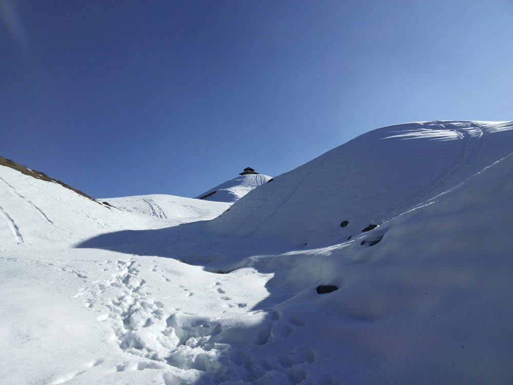
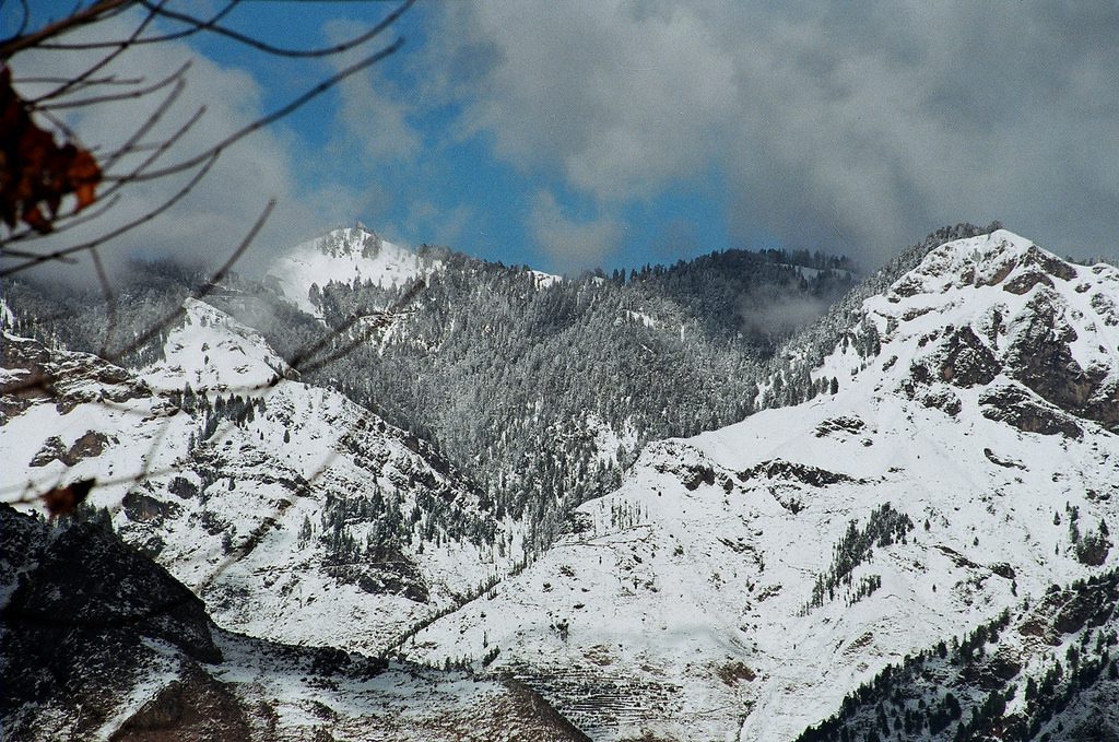
There are meadows/forests of Kanasar and Deoban and a place Chilmiri around Chakrata which also gets heavy snow in winter months, especially Deoban which is almost 3000 Meters in altitude. There is one popular waterfall by the name Tiger Fall in Chakrata, which is a nice place to spend time in solace.
How to reach
- Through air: Jolly Grant Airport (116 km) in Dehradun is the nearest airport. Taxis are available from the airport till Chakrata
- By rail: The nearest railway station is also Dehradun (88 km away).
- By road: Buses ply regularly between Dehradun and Chakrata
Best time to visit: Chakrata has a refreshing climate throughout the year.
Things to do: Camping, photography, Jungle walk
Also, See:
