India-China dispute and the current India-China Stand-off is a significant international event. It has the potential to disrupt international relations and military partnerships at a time when the whole world is battling the COVID-19 pandemic. It is a standoff between the two most populous countries in the world, Also between the second and third largest armies on earth.
Both big military powers have been arguing for decades over territory in the high-altitude, extremely cold, and largely uninhabited region.
Their armies come face to face at many points along the 3,488km (2,100-mile) shared border.
The confrontation came after tensions bubbled up in recent months over a new road India built in Ladakh, along the Line of Actual Control which divides the sides.
This seems to have angered China, which deployed troops to construct the infrastructure of its own in disputed territory, bringing the two sides’ forces in closer vicinity and raising the risk of clashes.
Background to the current Indian-China conflict

The disputed boundary between India and China, also known as the Line of Actual Control (LAC), is divided into three sectors — western, middle, and eastern.
Both countries differ on the exact position of the LAC in several areas to an extent that India claims that the LAC is 3,488 km long while the Chinese consider it to be around 2,000 km long.
The two armies try and control by patrol to the areas up to their respective perceptions of the LAC, oftentimes bringing them into skirmishes. These, however, have never resulted in deaths or shots being fired since 1975.
On October 20, 1975, the Indian government stated that the Chinese had crossed the Line of Actual Control (LAC) and ambushed the patrol. The Chinese denied this and blamed India for the incident. Since then the situation has been mostly under control and was resolved through mutual discussion.
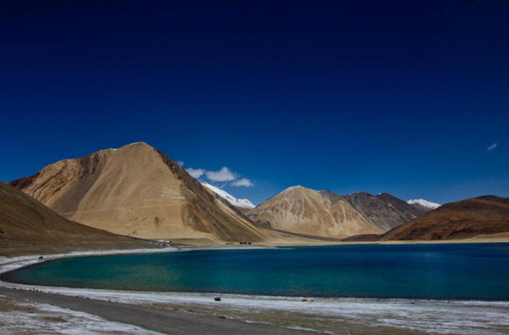
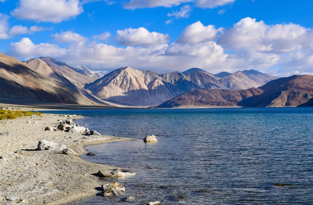
The LAC doesn’t just run through the land, but also through the Pangong Tso — a 135 kilometer-long, narrow, deep, and landlocked lake, which covers a total area above 700 square kilometers. The 45 km-long western portion is in Indian control.
The slopes of the barren mountains jut forward into the lake at eight different points, which are officially referred to as “fingers”. India claims that its territory goes until the easternmost finger, that is number 8, whereas Chinese soldiers are now believed to have made intrusions till Finger 4.
Before the current standoff, videos have emerged that show Indian and Chinese soldiers engaging in fisticuffs and fighting with sticks and stones on the banks of Pangong Tso.
Former Northern Army commander Lt Gen H.S. Panag to explain the start of the military discord between India and China over the Pangong lake in his interview with the Print.
“According to the original international boundary which we inherited in 1947, we had a larger share of the lake than we have today. What happened is that the Chinese had a claim line that they informed India about in November 1959, and some people call it the 1960 claim line,” Panag said.
“That claim line is close to what the LAC is today, but even before 1962, China had already grabbed the Khurnak fort area and were only at the Sirijap area where Dhan Singh Thappa fought the famous 1962 battle. This is at ‘Finger 8’, which is in news these days. So now, the LAC runs through Finger 8, while the Chinese claim line is till ‘Finger 4’,” he said.
“China took the lake, from the general area of Khurnak fort, where the international border runs, up to Sirijap in 1962. Basically up to Finger 8. Now, they have taken the area from Finger 8 to Finger 4, and they are not allowing us to patrol up to the LAC,” Panag added.
He further said while the lake, per se, is not an issue and the Chinese could use the water body to attack, they could do the same from the Chushul area too.
“Defences in high altitudes are in the heights, not on canal banks. The main defenses will be in the mountains. The north and south bank of the lake will be totally defended in the situation of a hot war,” Panag said.
Galwan valley and the bridge construction across the Galwan nallah
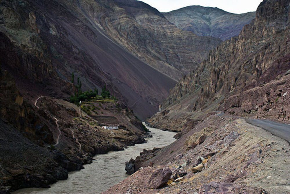
The Galwan Valley area comes under Sub Sector North (SSN), which lies just to the east of the Siachen glacier and is the only point that provides direct access to Aksai Chin from India.
The current tensions can be traced to Chinese objections over India’s road construction activities here. China is believed to be particularly concerned about a bridge that India is building across the Galwan nallah.

The bridge is part of a network of feeder roads that India is building connecting the strategically important Shyok-Daulat Beg Oldi road, inaugurated by Defence Minister Rajnath Singh last year.
Defense sources have said that even though the bridge is about 7.5 km from the LAC, the Chinese have objected because they are suspicious of India’s aims on account of New Delhi’s claim over Aksai Chin.
Analysts say China suspects that the Indian constructions in the area are meant to facilitate quick movement of soldiers if any attempt is made to recapture Aksai Chin.
Why is the current India China standoff significant?

Both sides view the area as strategically important, economically, and militarily.
If neither gives way, the stand-off could have destabilizing consequences for the region.
The loss of life on both sides now raises the stakes. Moreover, deaths are believed to be the first in 45 years in a border confrontation between India and China. India army initially confirmed the death of three of its soldiers which was then revised to 20 after more deaths followed by those succumbing to injuries at sub-zero temperatures.
India and China have till now fought only one war, in 1962, when India suffered a humiliating defeat. Indian did manager to assert itself later with a clash in Sikkim, where India got the better of China just five years after defeat in the 1962 war, saw more than 80 Indian soldiers killed while estimates say 400 Chinese soldiers may have been killed.
How dangerous could this be?
In short term the possibility of confrontation is low. Despite a huge number of deaths on both side, not a single shot has been fired. However, this could prove to be Potentially dangerous, if efforts to reduce tensions fail.
In recent days, army generals from India and China have been involved in talks aimed at resolving the border row.
However, similar reconciliation attempts have stalled in the past. If they are not successful, there is a risk of escalation between two rivals who happen to be the world’s most populous countries – and have nuclear weapons.
“This is extremely, extremely serious, this is going to vitiate whatever dialogue was going on,” former Indian army commander DS Hooda said, commenting on Monday’s clash.


